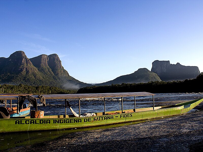
Cerro Autana is a geological formation located at the western portion of the Guiana Shield in the Estado Amazonas, Venezuela near the Colombian border. It is characterized by a narrow base, a flat top and almost vertical walls. Its top is at approximately 1,220 metres. It belongs to the formations known as tepuis which are characteristic flat-top mountains of the Guiana Shield.
Download Download See moreWikipedia https://en.wikipedia.org/wiki/Cerro_Autana
Address Venezuela
Coordinates 4°51'18.104" N -67°26'59.054" E