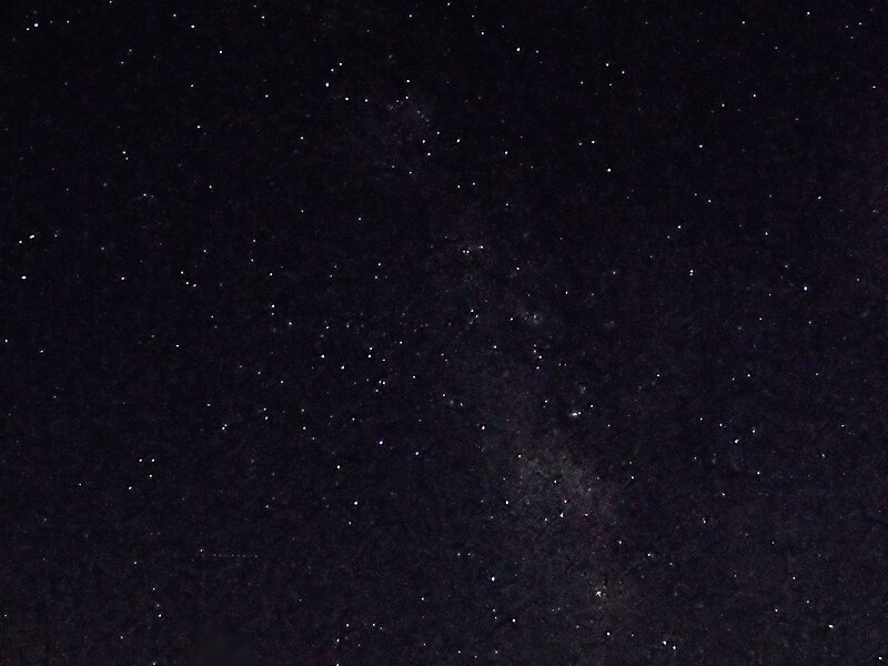
Cherry Springs State Park is an 82-acre Pennsylvania state park in Potter County, Pennsylvania, United States. The park was created from land within the Susquehannock State Forest, and is on Pennsylvania Route 44 in West Branch Township. Cherry Springs, named for a large stand of Black Cherry trees in the park, is atop the dissected Allegheny Plateau at an elevation of 2,300 feet. It is popular with astronomers and stargazers for having "some of the darkest night skies on the east coast" of the United States, and was chosen by the Pennsylvania Department of Conservation and Natural Resources and its Bureau of Parks as one of "25 Must-See Pennsylvania State Parks".
The earliest recorded inhabitants of the area were the Susquehannocks, followed by the Seneca nation, who hunted there. The first settlement within the park was a log tavern built in 1818 along a trail; the trail became a turnpike by 1834 and a hotel replaced the tavern in 1874, then burned in 1897.
Wikipedia https://en.wikipedia.org/wiki/Cherry_Springs_State_Park
Official Website https://www.dcnr.pa.gov/StateParks/FindAPark/CherrySpringsStatePark/
Address (Unnamed Road), 16922, United States
Coordinates 41°39'47.137" N -77°49'15.627" E