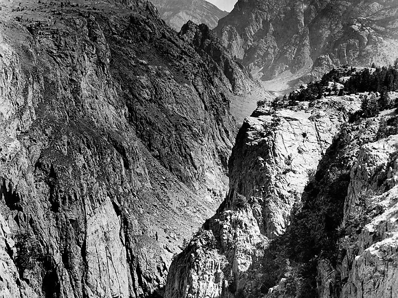
Dead Indian Pass is a mountain pass on Wyoming Highway 296. The pass is located on Chief Joseph Scenic Byway and crosses the Absaroka Range.
Dead Indian Creek runs at the base of the pass. Near the pass are also Dead Indian Gulch, Dead Indian Mountain, and Dead Indian Mesa
Wikipedia https://en.wikipedia.org/wiki/Dead_Indian_Pass
Address Crandall Rd, 82414, United States
Coordinates 44°44'34.355" N -109°22'58.164" E
