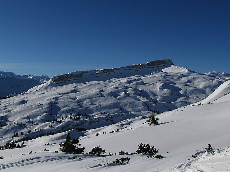
The Hoher Ifen is a 2,230 metre high mountain in the Allgäu Alps, west of the Kleinwalsertal valley. In winter it forms the backdrop for a small ski area. It lies on the border between Germany and Austria. The summit is the highest point on the gently, tilted Ifen plateau.
Northeast of the Ifen plateau is the Gottesacker plateau, a karst landscape which has been designated a nature reserve and which has numerous caves and rare mountain plants. The most important caves are the Hölloch im Mahdtal and the Schneckenloch Cave near Schönenbach.
On the eastern slopes of the massif a Stone Age dwelling site was discovered on the mountain pasture of Schneiderkürenalpe at a height of about 1,500 m.
Wikipedia https://en.wikipedia.org/wiki/Hoher_Ifen
Address 6863, Austria
Coordinates 47°21'17.23" N 10°5'59.323" E