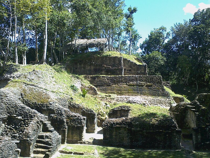
Naranjo is a Pre-Columbian Maya city in the Petén Basin region of Guatemala. It was occupied from about 500 BC to 950 AD, with its height in the Late Classic Period. The site is part of Yaxha-Nakum-Naranjo National Park. The city lies along the Mopan and Holmul rivers, and is about 50 km east of the site of Tikal. Naranjo has been the victim of severe looting. The site is known for its polychrome ceramic style.
"Naranjo" in Spanish means "orange tree", which is a Spanish translation of the Mayan name Wak Kab'nal. The emblem glyph of the Naranjo is transliterated as Sa'aal “the place where gruel abounds.” The Naranjo dynastic rulers are said to be the "Holy Lords of Sa'aal."
Wikipedia https://en.wikipedia.org/wiki/Naranjo
Address Guatemala
Coordinates 17°8'2.869" N -89°15'36.381" E