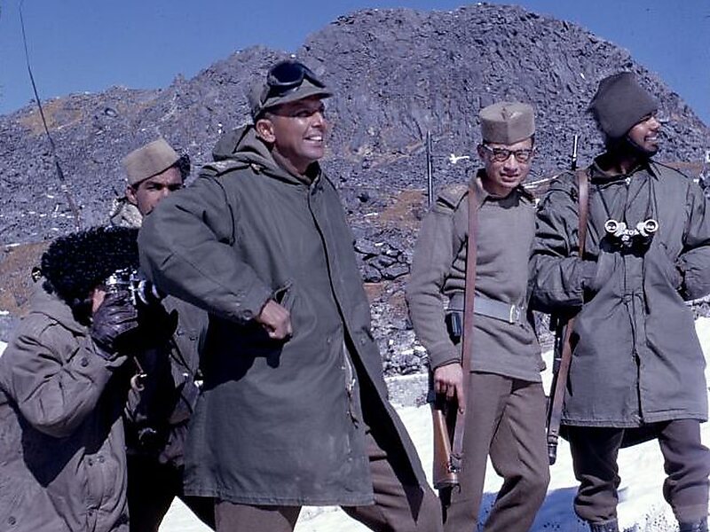
Nathu La is a mountain pass in the Dongkya Range of the Himalayas between China's Yadong County in Tibet, and the Indian states of Sikkim and West Bengal in Bengal, South Asia. The pass, at 4,310 m, connects the towns of Kalimpong and Gangtok to the villages and towns of the lower Chumbi Valley.
The pass was surveyed by J. W. Edgar in 1873, who described the pass as being used for trade by Tibetans. Francis Younghusband used the pass in 1903-1904, a diplomatic British delegation to Lhasa in 1936-37, and Ernst Schäfer in 1938–1939. In the 1950s, trade in the Kingdom of Sikkim utilized this pass. Diplomatically sealed by China and India after the 1962 Sino-Indian War, the pass saw skirmishes between the two countries in coming years, including the clashes in 1967 which resulted in fatalities on both sides. Nathu La has often been compared to Jelep La, a mountain pass situated at a distance of 3 miles.

Wikipedia https://en.wikipedia.org/wiki/Nathu_La
Address India
Coordinates 27°23'12.521" N 88°49'51.443" E