
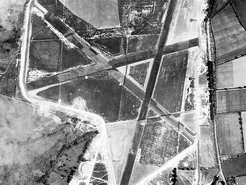
Royal Air Force Culmhead or more simply RAF Culmhead is a former Royal Air Force station, situated at Churchstanton on the Blackdown Hills in Somerset, England.
It had three tarmac runways that are now in poor condition and the control towers are currently derelict. There is now an industrial estate – derived from the later Composite Signals Organisation Station – right in the middle of the place where the three runways meet.
Wikipedia https://en.wikipedia.org/wiki/RAF_Culmhead
Coordinates 50°56'1.624" N -3°7'41.258" E
