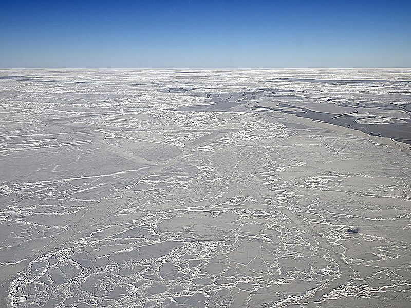
The Weddell Sea is part of the Southern Ocean and contains the Weddell Gyre. Its land boundaries are defined by the bay formed from the coasts of Coats Land and the Antarctic Peninsula. The easternmost point is Cape Norvegia at Princess Martha Coast, Queen Maud Land. To the east of Cape Norvegia is the King Haakon VII Sea. Much of the southern part of the sea is covered by a permanent, massive ice shelf field, the Filchner-Ronne Ice Shelf.
The sea is contained within the two overlapping Antarctic territorial claims of Argentine Antarctica, the British Antarctic Territory, and also resides partially within the Antarctic Chilean Territory. At its widest the sea is around 2,000 kilometres across, and its area is around 2.8 million square kilometres.Various ice shelves, including the Filchner-Ronne Ice Shelf, fringe the Weddell sea.
Wikipedia https://en.wikipedia.org/wiki/Weddell_Sea
Coordinates -64°4'13.914" N -57°27'25.332" E