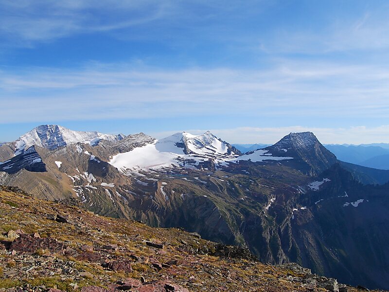
Sperry Glacier is a glacier on the north slopes of Gunsight Mountain west of the Continental Divide in Glacier National Park in the U.S. state of Montana. Although many geologic features of Glacier National Park were formed during the much longer period of glaciation ending over 10,000 years ago, Sperry Glacier — like all the glaciers in the park today — is a product of the recent Little Ice Age, the period of cooler average temperatures starting in about the 13th century and concluding in the mid-19th century.
Once one of the largest glaciers in the park, the surface area of Sperry Glacier has retreated 75 percent since the mid-19th century. 2005 measurements of the surface area of the glacier resulted in an estimated area of 216 acres, whereas the glacier is estimated to have covered an area of 930 acres at the end of the Little Ice Age in the mid-19th century. The glacier lost almost 35 percent of its surface area between 1966 and 2005.
Wikipedia https://en.wikipedia.org/wiki/Sperry_Glacier
Address 59916, United States
Coordinates 48°37'22.898" N -113°45'44.414" E