Buena Vista Park

Local nameBuena Vista Park
LocationSan Francisco, United States

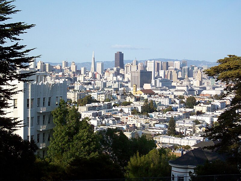
Buena Vista Park is a park in the Haight-Ashbury and Buena Vista Heights neighborhoods of San Francisco, California. It is the oldest official park in San Francisco, established in 1867 as Hill Park, later renamed Buena Vista. It is bounded by Haight Street to the north, and by Buena Vista Avenue West and Buena Vista Avenue East. The park is on a steep hill that peaks at 575 feet, and covers 37 acres. The lowest section is the north end along Haight.

Tags ParkView PointCity ParkStrolling AreaAerial ViewsWood
Download Download See more
San Francisco Sightseeing from 240 USD
Book ticket

Opening hours

Daily: 5 am - midnight

More information and contact

Wikipedia https://en.wikipedia.org/wiki/Buena_Vista_Park

Official website http://sfrecpark.org/destination/buena-vista-park/

Coordinates 37°46'6.755" N -122°26'29.015" E

Tours and activities: Buena Vista Park

San Francisco Sightseeing

from 240 USD

Private Tour: San Francisco Sightseeing - 3 Hour

from 235 USD

Private Tour of Muir Woods, Sausalito, and San Francisco

from 475 USD

Sygic Travel - A Travel Guide in Your Pocket

Download for free and plan your trips with ease
Or just search for "Sygic Travel" in App Store or Google Play.
Sygic Travel Maps The world's first map app tailored for travelers
Use the app Not now