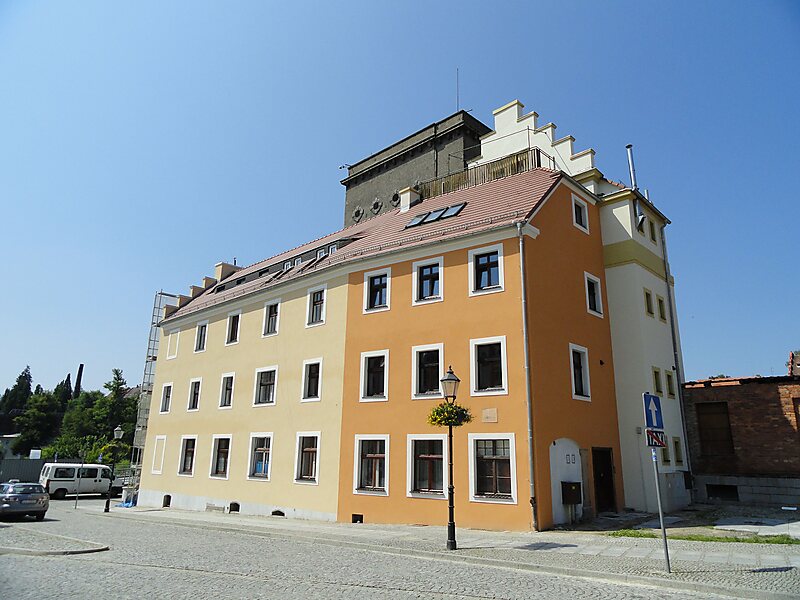
Zgorzelec County is a unit of territorial administration and local government in Lower Silesian Voivodeship, Poland. It came into being on January 1, 1999, as a result of the Polish local government reforms passed in 1998. It is situated in the extreme south-west of Poland, bordering both Germany and the Czech Republic. The county covers an area of 838.1 square kilometres. Its administrative seat is Zgorzelec, on the German border; the other towns in the county are Bogatynia, Pieńsk, Zawidów and Węgliniec.
As of 2019 the total population of the county is 89,612. The most populated towns are Zgorzelec with 30,374 inhabitants and Bogatynia with 17,436 inhabitants.
Wikipedia https://en.wikipedia.org/wiki/Zgorzelec_County
Official Website http://www.powiatzgorzelecki.pl/
Coordinates 51°8'51.72" N 15°0'28.45" E