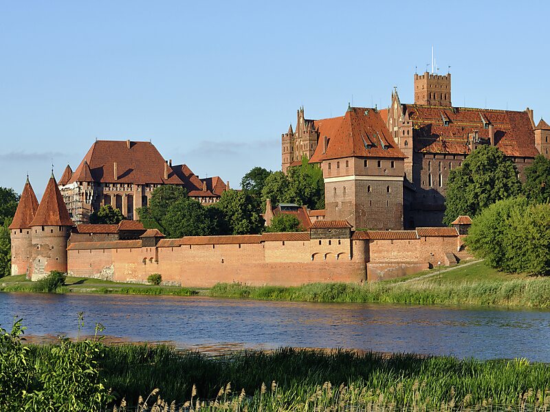
Malbork County is a unit of territorial administration and local government in Pomeranian Voivodeship, northern Poland. It came into being on January 1, 1999, as a result of the Polish local government reforms passed in 1998. Its administrative seat and largest town is Malbork, 46 kilometres south-east of the regional capital Gdańsk. The only other town in the county is Nowy Staw, lying 12 km north of Malbork. Until 2002, the county also included the areas which now make up Sztum County.
The county covers an area of 494.63 square kilometres. As of 2019, its total population is 63,575, out of which the population of Malbork is 38,464, of the urban-rural gmina of Nowy Staw is 4,248, and of the rural gminas is 20,862.
Wikipedia https://en.wikipedia.org/wiki/Malbork_County
Official Website https://powiat.malbork.pl/
Coordinates 54°2'9.37" N 19°2'5.574" E