Aartswoud is an unincorporated village in the Dutch province of North Holland, part of the municipality of Opmeer. It lies about twelve kilometres northeast of Heerhugowaard.
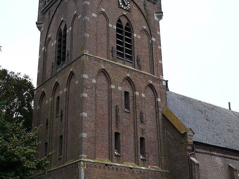
Aartswoud has been inhabited since the Neolithic, and a church may have existed as early as 1395; the village still has a 16th-century church tower. Formerly a harbor settlement on the Zuiderzee, it became landlocked after the Wieringermeer was created. The village sits on the Westfriese Omringdijk, a dike completed in 1250 that protects an area of 800 km2, and is now an accesspoint for several nature reserves that reclaim the land, the landscape, the water levels, and the flora and fauna of the earlier West-Frisian countryside.
Wikipedia https://en.wikipedia.org/wiki/Aartswoud
Coordinates 52°44'48.412" N 4°57'38.043" E