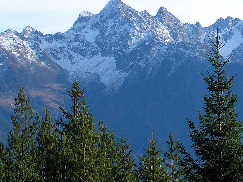
The Acherkogel is a mountain in the Austrian Alps with a 3,008 m above sea level high summit. It is the northernmost three-thousander in the state of Tyrol. It dominates the village of Oetz in the lower valley of the River Ötz, where high rock faces rise to the northwest and southwest. To the west, a sharp ridge leads down to the Achplatte and Habicher Wand, another ridge strikes northeast to the 2,894 m high Maningkogel. Another sharp ridge heads southeast to the 2,954 m high Wechnerkogel. In the main, the Acherkogel has the character of a rocky peak, only to the north and east are there small snowfields.
It was first climbed on 24 August 1881 by Ludwig Purtscheller from the southeast and south ridge over a route that has not been used since. His climbing partner, the chamois hunter Franz Schnaiter from Kühtai, stayed behind on the south ridge when the climbing became very exposed.
Wikipedia https://en.wikipedia.org/wiki/Acherkogel
Address 6441, Austria
Coordinates 47°11'21.149" N 10°57'23.951" E