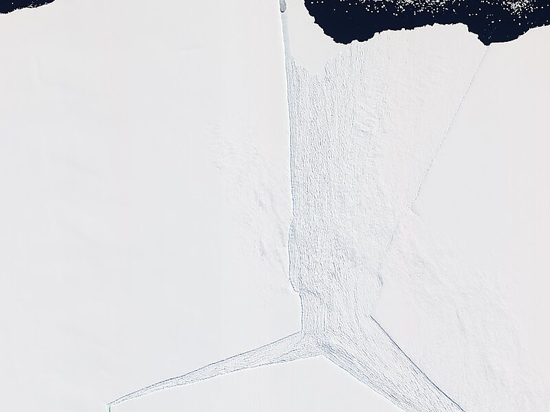
The Amery Ice Shelf is a broad ice shelf in Antarctica at the head of Prydz Bay between the Lars Christensen Coast and Ingrid Christensen Coast. It is part of Mac. Robertson Land. The name "Cape Amery" was applied to a coastal angle mapped on 11 February 1931 by the British Australian New Zealand Antarctic Research Expedition under Douglas Mawson. He named it for William Bankes Amery, a civil servant who represented the United Kingdom government in Australia. The Advisory Committee on Antarctic Names interpreted this feature to be a portion of an ice shelf and, in 1947, applied the name Amery to the whole shelf.
In 2001 two holes were drilled through the ice shelf by scientists from the Australian Antarctic Division and specially designed seabed sampling and photographic equipment was lowered to the underlying seabed.
Wikipedia https://en.wikipedia.org/wiki/Amery_Ice_Shelf
Coordinates -70°25'3.697" N 70°25'18.058" E

