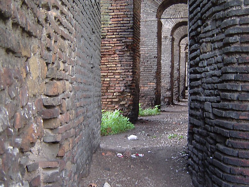
The Aurelian Walls are a line of city walls built between 271 AD and 275 AD in Rome, Italy, during the reign of the Roman Emperors Aurelian and Probus. They superseded the earlier Servian Wall built during the 4th century BC.
The walls enclosed all the seven hills of Rome plus the Campus Martius and, on the right bank of the Tiber, the Trastevere district. The river banks within the city limits appear to have been left unfortified, although they were fortified along the Campus Martius. The size of the entire enclosed area is 1,400 hectares. The wall cut through populated areas: in reality the city at the time embraced 2,400 hectares or 6,000 acres. Pliny the Elder in the first century A.D. suggested that the densely populated areas, 'extrema tectorum' extended 2.8 kilometres from the Golden Milestone in the Forum.
Wikipedia https://en.wikipedia.org/wiki/Aurelian_Walls
Address 11 Via Sannio, Roma 00183, Italy
Coordinates 41°52'45.015" N 12°30'2.695" E