Island Park Drive is an important and scenic north-south thoroughfare in Ottawa, Ontario, Canada with a length of about 4 km. It is one of several parkways in Ottawa administered by the National Capital Commission providing scenic routes throughout Canada's capital region.
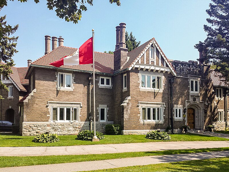
Many luxury homes and several embassies line the street. The north end connects to the Kichi Zibi Mikan and the Champlain Bridge, which crosses the Ottawa River into Gatineau, Quebec. Island Park Drive is named for Bate Island, the largest island crossed by the Champlain Bridge, which has a small park with road access. The south end connects to the Central Experimental Farm, where it becomes the NCC Driveway.
Wikipedia https://en.wikipedia.org/wiki/Island_Park_Drive
Coordinates 45°24'31.746" N -75°45'22.939" E