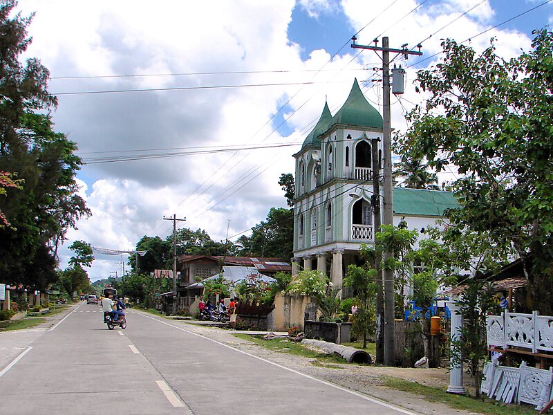
Batuan, officially the Municipality of Batuan, is a 5th class municipality in the province of Bohol, Philippines. According to the 2020 census, it has a population of 13,845 people. Batuan is 51 km from Tagbilaran, and is located in the interior part of the island. It is accessible via the Tagbilaran–Loay–Carmen national road or the Tagbilaran–Balilihan–Batuan provincial road. It marches with Sagbayan to the north, with Bilar to the south, with Carmen and Valencia to the east, and with Catigbian and Balilihan to the west.
Batuan covers a total area of 7,908 hectares comprising fifteen barangays as per the Municipal Comprehensive Development Plan for 1983–1992. However, a certification of the land area of Batuan, issued by ARED for operations, DENR Regional Office Region No. 7 Cebu City on 26 November 2001 at the instance of the LGU in connection with its Comprehensive Land Use Plan preparation work, showed a land area of only 4,878 hectares, but that included only eleven barangays and…
Wikipedia https://en.wikipedia.org/wiki/Batuan,_Bohol
Coordinates 9°47'2.674" N 124°8'56.887" E