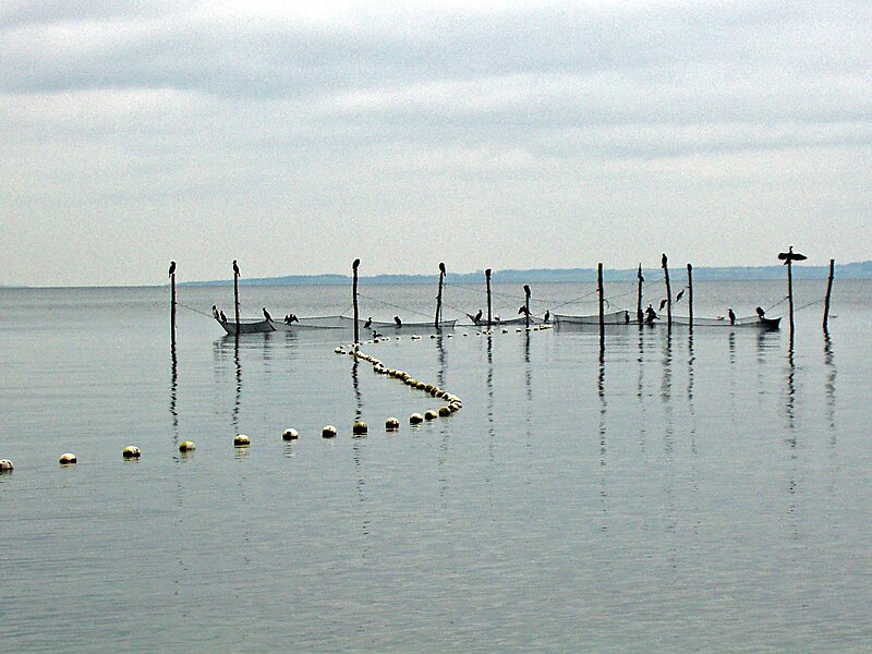
The Bay of Aarhus, or Aarhus Bay, is a Danish waterway by Aarhus in eastern Jutland.
The Bay of Aarhus is bounded by Kalø Vig in the north, Sletterhage and Helgenæs in the east, Samsø and Tunø to the south and the east Jutland coast to the west. The bay stretches over an area of 610 square kilometres and consists of a flat bassin, increasing in depth from 14 m in the west to 18 m in the east. The bay mainly exchanges water with the Kattegat through a deep trench along Helgenæs with depths to 50 m. In the bay's southern section there are a number of stony reefs including Norsminde Flak, Wulffs Flak, Mejlflak and Tunø Knob. These reefs and the islands of Tunø and Samsø, prevents an open connection with the Belt Sea.

Wikipedia https://en.wikipedia.org/wiki/Bay_of_Aarhus
Coordinates 56°7'6.334" N 10°20'40.674" E