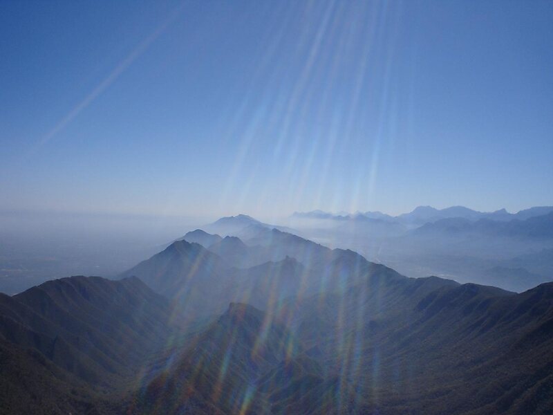
The Cerro de la Silla is a mountain and natural monument located within the metropolitan area of the city of Monterrey, Nuevo León, in northeastern Mexico. Named for its distinctive saddle-shaped profile when viewed from the west, it is a well-known symbol of the city of Monterrey, despite being located in the adjacent municipality of Guadalupe.
It covers an area of 60.5 square kilometres. The mountain has four peaks: Pico Antena, Pico Norte, Pico Sur and Pico la Virgen; Pico Norte is the highest at 1820 m while Pico la Virgen is the lowest at 1750 m.
Wikipedia https://en.wikipedia.org/wiki/Cerro_de_la_Silla
Address Mexico
Coordinates 25°37'25.699" N -100°14'35.285" E