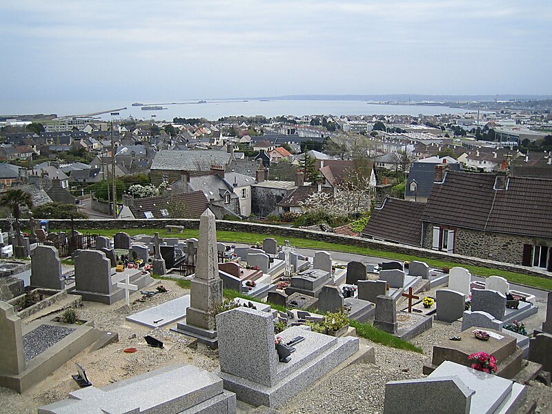
Cherbourg Harbour, is a harbour situated at the northern end of the Cotentin Peninsula, on the English Channel coastline, in Normandy, northwestern France. With a surface area of 1,500 hectares, it is the second largest artificial harbour in the world, after the 4,500 hectare Ras Laffan Harbour in Qatar. As well as Cherbourg Naval Base, it has been used for mercantile shipping.
It was begun in 1783, with its central harbour wall completed in 1853 - this was 3.64 km long, an average of 100 m wide at its base and an average of 12 m wide at its top, and sited 4 km from the coast. Three forts were added to the central wall in 1860. This and the two other harbour-walls stretch for more than 6 km. The eastern opening into the harbour is 950 m wide and the western one 2.3 km wide. The harbour's maximum depth is 13 m at low tide.
Wikipedia https://en.wikipedia.org/wiki/Cherbourg_Harbour
Address France
Coordinates 49°39'53.079" N -1°37'31.526" E