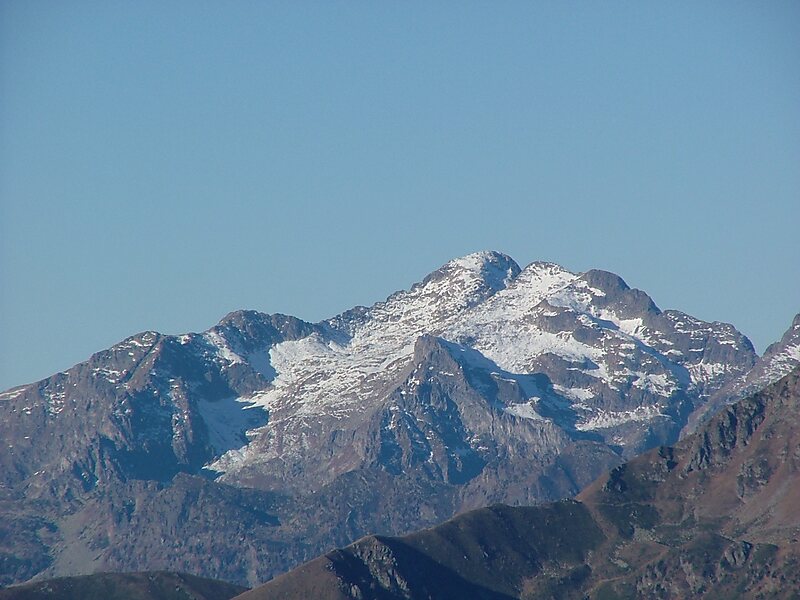
Cima d’Asta at 2,847 metres is the highest mountain of the Fiemme Mountains in the eastern part of the Italian province of Trentino.
It is situated between the Vanoi valley to the north and the Tesino valley to the south and is 18 km north-east of the town of Borgo Valsugana. It is over 21 km away from the nearest higher summit, the Cimon della Pala.
Just south of the summit is a mountain lake at 2460 m, the Lago di Cima d’Asta, from which the river Grigno originates.
Wikipedia https://en.wikipedia.org/wiki/Cima_d'Asta
Address 38053, Italy
Coordinates 46°10'35.826" N 11°36'19.057" E