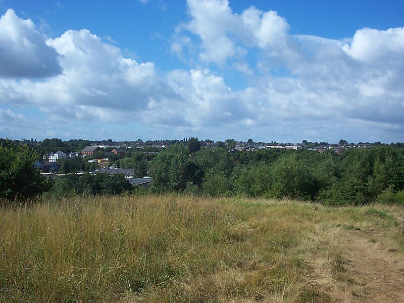
Winsford is a town and civil parish within the unitary authority of Cheshire West and Chester and the ceremonial county of Cheshire, England. It lies on the River Weaver south of Northwich and west of Middlewich, and grew around the salt mining industry after the river was canalised in the 18th century, allowing freight to be conveyed northwards to the Port of Runcorn on the River Mersey. The town falls into the Winsford & Northwich Locality which has a 2017 Population estimate of 103,300, Winsford itself with its 3 wards make up around 32,610 of this figure.
Winsford is split into three neighbourhoods: Over on the western side of the River Weaver, Wharton on the eastern side, and Swanlow and Dene.
Wikipedia https://en.wikipedia.org/wiki/Winsford
Official Website http://www.inschoolout.co.uk/page.aspx?p=darnhall%2Fhome
Coordinates 53°10'43.531" N -2°31'54.568" E