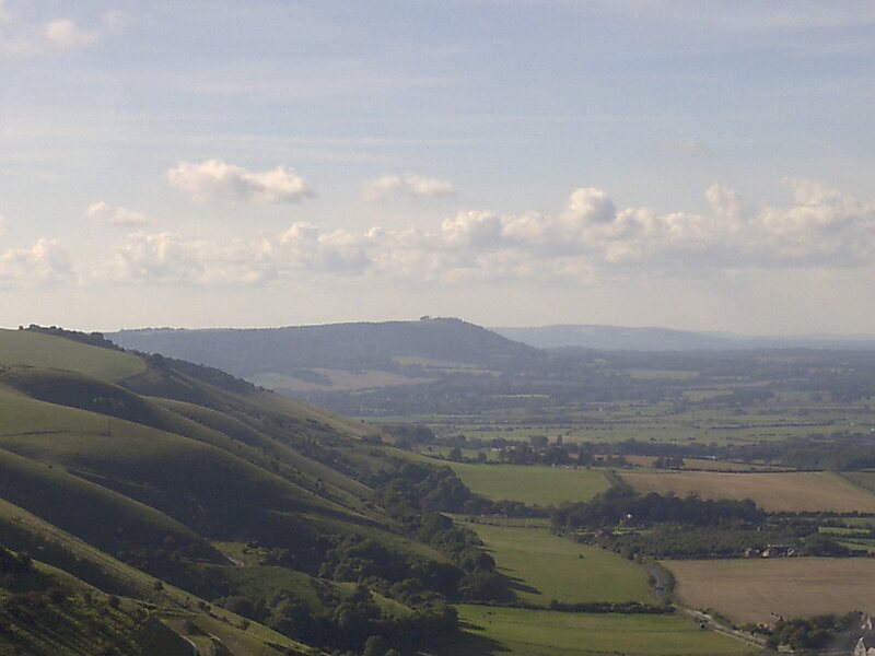
Devil's Dyke is a 100m deep V-shaped dry valley on the South Downs in Sussex in southern England, 5 miles north-west of Brighton. It is managed by the National Trust, and is also part of the Beeding Hill to Newtimber Hill Site of Special Scientific Interest. Devil's Dyke was a major local tourist attraction in the late 19th and early 20th centuries. It is now a popular viewpoint and site for walking, model aircraft flying and hang gliding. The South Downs Way passes the site.
Download Download See moreWikipedia https://en.wikipedia.org/wiki/Devil's_Dyke,_Sussex
Address BN1 8, United Kingdom
Coordinates 50°53'2.276" N -0°12'40.955" E