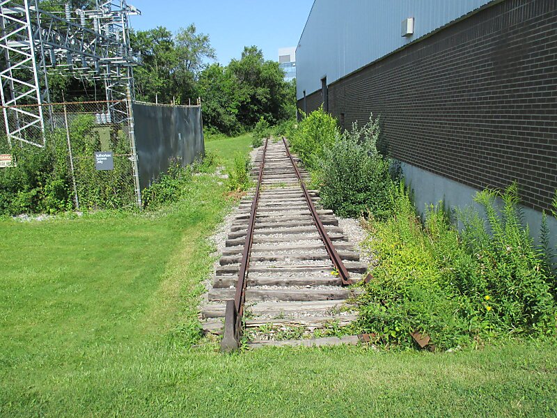
The Don Mills Trail is a 3-kilometre cycling and walking trail in Toronto, Ontario, Canada. The trail runs south from York Mills Road, east of and roughly parallel to Leslie Street. The city built the trail on the roadbed of a former railway line, known as the Leaside Spur.
The trail is situated within the Don Mills neighbourhood of Toronto. None of the trail is within Leaside, although that was the destination of trains that used the former Leaside Spur. The Don Mills Trail is not to be confused with the Lower Don Trail, also within Toronto.
Wikipedia https://en.wikipedia.org/wiki/Don_Mills_Trail
Official Website https://www.toronto.ca/data/parks/prd/facilities/complex/2434/index.html
Coordinates 43°44'41.497" N -79°21'10.091" E