Freedom Park is one of the largest city parks in Atlanta, Georgia, United States. The park forms a cross shape with the axes crossing at the Carter Center. The park stretches west-east from Parkway Drive, just west of Boulevard, to the intersection with the north-south BeltLine Eastside Trail, to Candler Park, and north-south from Ponce de Leon Avenue to the Inman Park/Reynoldstown MARTA station.
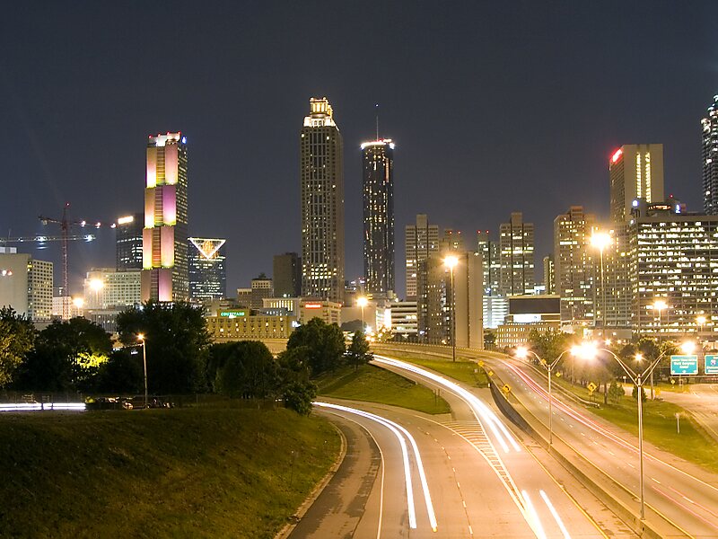
Freedom Parkway, rededicated John Lewis Freedom Parkway in 2018 in honor of local U.S. Congressman and civil rights icon John Lewis, is a four-lane limited-access road. It is the westernmost portion of Georgia State Route 10. It travels through the park west-to-east from the Downtown Connector to the Carter Center, where the main road turns north towards Ponce de Leon Avenue, with a branch continuing east towards Moreland Avenue.
Wikipedia https://en.wikipedia.org/wiki/Freedom_Park_(Atlanta,_Georgia)
Official website http://www.freedompark.org/
Freedom Part Virtual Tour http://www.seeit360.com/photography/nature/freedom-park
Email info@freedompark.org
Address North Ave & Freedom Pkwy Atlanta, GA 30307, USA
Coordinates 33°46'13.304" N -84°20'43.414" E