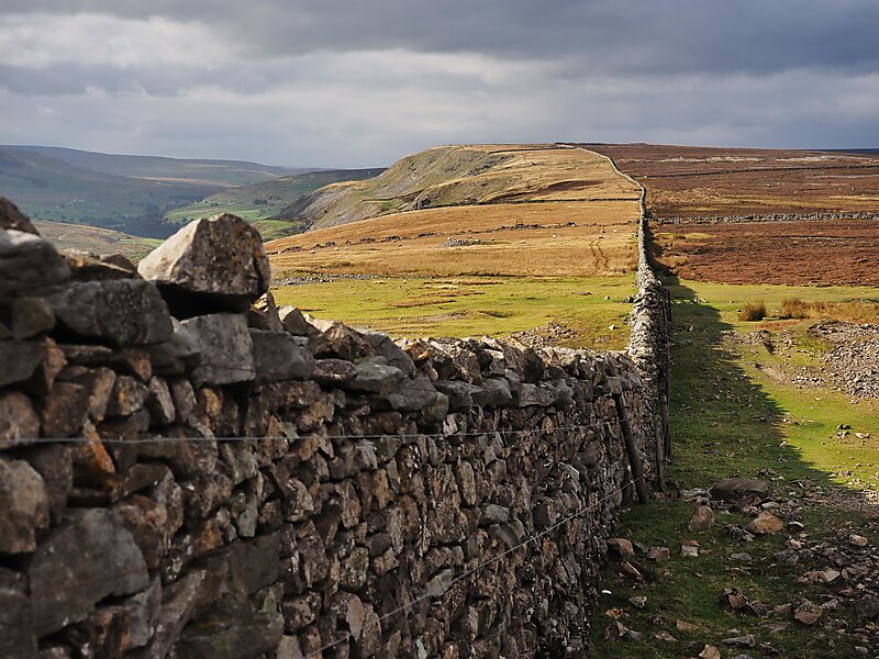
Fremington Edge is a 3-mile long wall of crags and scree slopes that is situated to the north of the village of Reeth in Swaledale in the Yorkshire Dales National Park, England. Fremington Edge forms the south-eastern edge of Arkengarthdale, extending to the point where the dale meets Swaledale. Throughout its full length the Edge stays above the height of 1,300 feet and reaches a highest point of 1,552 feet at the northern end of the escarpment.
Download Download See moreWikipedia https://en.wikipedia.org/wiki/Fremington_Edge
Address DL11 6, United Kingdom
Coordinates 54°24'32.332" N -1°56'57.331" E