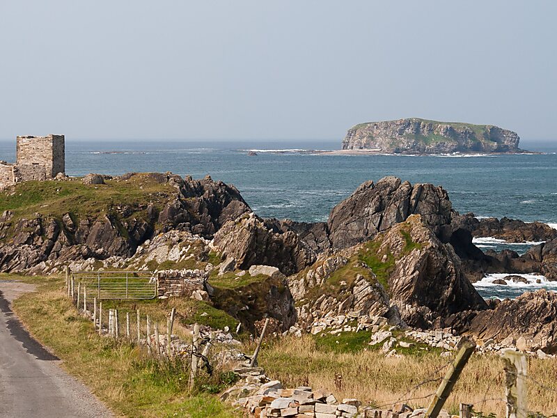
Glashedy Island is an uninhabited island approximately 1 mile off Pollan strand, 2 miles west of Trawbreaga Bay, and about 4 miles south of Malin Head, Donegal, Ireland. Glashedy Island has an area of 22,548 m² which is equivalent to 2.25 hectares. At its highest point, it is 119 ft high.
The sea around the island is potentially very dangerous for shipping and unsafe for anchorage. Rocks and breakers extend up to a 1,000 meters from all sides of the Island. The waters are relatively shallow at between 4 and 5 fathoms. The shoals to the north of the island are particularly treacherous, lying at a depth of just 3 fathoms. Glashedy Sound is the channel between the island and the shore. It is also shallow. The island contains a number of caves. The island principally comprises quartzite.
Wikipedia https://en.wikipedia.org/wiki/Glashedy
Coordinates 55°19'7.254" N -7°23'55.508" E