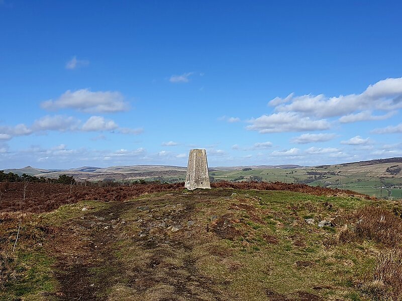
Gun is a hill at the southern end of the Peak District, overlooking the town of Leek in the Staffordshire Moorlands. The hill is mainly moorland with some small wooded areas. Neighbouring peaks to the east are The Roaches, Hen Cloud and Ramshaw Rocks. It is a nature reserve of the Staffordshire Wildlife Trust.
Download Download See moreWikipedia https://en.wikipedia.org/wiki/Gun_(Staffordshire)
Address ST13 8, United Kingdom
Coordinates 53°9'2.767" N -2°2'46.604" E