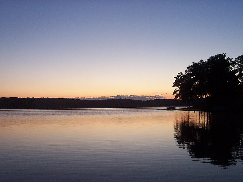
Hamlin Lake is a man-made lake in Michigan enlarged by the backup of the Big Sable River by the Hamlin Lake Dam before it reaches Lake Michigan. The lake, which covers 5,350 acres, is 12 miles long and two miles wide. It has two sections, the upper and lower lakes, which are separated by the narrows. The western section has a maximum depth of almost 80 feet while the eastern section is only 34 feet The first dam was built in the 1850s for a sawmill. Ludington State Park lies along the entire western shore of the lake while the eastern tip of the lake is in the Manistee National Forest.
The lake is great for swimming during summer months as it is typically much warmer than Lake Michigan and has a smaller swimming area, making it easier to keep track of family and friends. Dunes separate the western shore of Hamlin Lake from the eastern shore of Lake Michigan.
Wikipedia https://en.wikipedia.org/wiki/Hamlin_Lake
Address 6598 W Windamere, 49431, United States
Coordinates 44°3'8.323" N -86°27'11.267" E