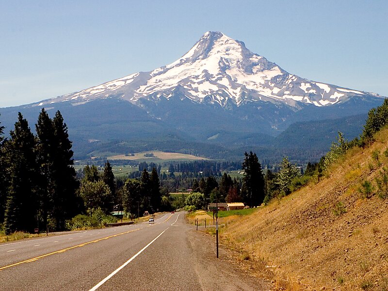
Mount Hood is a potentially active stratovolcano in the Cascade Volcanic Arc. It was formed by a subduction zone on the Pacific coast and rests in the Pacific Northwest region of the United States. It is located about 50 miles east-southeast of Portland, on the border between Clackamas and Hood River counties. In addition to being Oregon's highest mountain, it is one of the loftiest mountains in the nation based on its prominence, and it offers the only year-round lift-served skiing in North America.
The height assigned to Mount Hood's snow-covered peak has varied over its history. Modern sources point to three different heights: 11,249 feet, a 1991 adjustment of a 1986 measurement by the U.S. National Geodetic Survey, 11,240 feet based on a 1993 scientific expedition, and 11,239 feet of slightly older origin. The peak is home to 12 named glaciers and snowfields. It is the highest point in Oregon and the fourth highest in the Cascade Range.
Wikipedia https://en.wikipedia.org/wiki/Mount_Hood
Address Israel
Coordinates 32°57'5.538" N 35°21'3.862" E