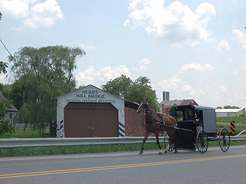
The Herr's Mill Covered Bridge was a covered bridge that spans Pequea Creek in Lancaster County, Pennsylvania, United States. It is also sometimes known as Soudersburg Bridge.The bridge had a double span, wooden, double Burr arch trusses design. It was painted red on the outside, the traditional color of Lancaster County covered bridges. Both approaches to the bridge were painted in the traditional white color.
The bridge's WGCB Number is 38-36-21. In 1980 it was added to the National Register of Historic Places as structure number 80003537. It was located at 40°0′35.4″N 76°9′43.8″W, in Paradise Township on Ronks Road 0.4 km south of U.S. Route 30 to the east of Lancaster city.
Wikipedia https://en.wikipedia.org/wiki/Herr's_Mill_Covered_Bridge
Address 101 S Ronks Rd, 17572, United States
Coordinates 40°0'34.466" N -76°9'43.275" E