Hochstetter Bay

Local nameHochstetterbugten
LocationGreenland

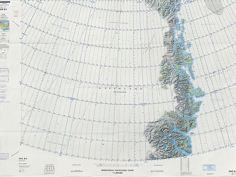
Hochstetter Bay is a broad bay in northeastern Greenland. It is part of the Northeast Greenland National Park area.

The name is said to have been in use from 1929 by Danish hunters, and first appeared on the maps of the 1932 Gefion Expedition.

Tags Bay
Download Download See more
1:1,000,000 scale… @ Defense Mapping Agency Aerospace Center, St. Louis Air Force Station, Mo.

More information and contact

Wikipedia https://en.wikipedia.org/wiki/Hochstetter_Bay

Coordinates 74°52'60" N -18°45'0" E

Sygic Travel - A Travel Guide in Your Pocket

Download for free and plan your trips with ease
Or just search for "Sygic Travel" in App Store or Google Play.
Sygic Travel Maps The world's first map app tailored for travelers
Use the app Not now