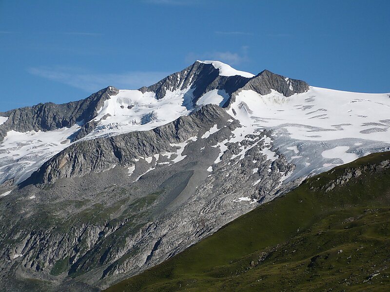
The High Tauern are a mountain range on the main chain of the Central Eastern Alps, comprising the highest peaks east of the Brenner Pass. The crest forms the southern border of the Austrian states of Salzburg, Carinthia and East Tyrol, with a small part in the southwest belongs to the Italian province of South Tyrol. The range includes Austria's highest mountain, the Grossglockner at 3,798 metres above the Adriatic.
In the east, the range is adjoined by the Lower Tauern. For the etymology of the name, see Tauern.
The park is open to the general public free of charge. However, in summer (Jul - Sep) it is possible to book a trekking tour with a National Park ranger, lasting from half a day to several days, and in winter a snow-shoe hike. Check the website for details.
Wikipedia https://en.wikipedia.org/wiki/High_Tauern
Phone +43 4875 5112 0
Address 5741, Austria
Coordinates 47°8'14.935" N 12°19'38.423" E