Île des Morts

Local nameÎle des Morts
LocationCrozon, France

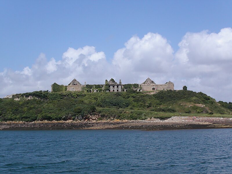
Île des Morts is a 7-hectare island in the Bay of Roscanvel, to the south-west of the roadstead of Brest, between the Quélern peninsula and Île Longue. It is 26m above sea level at its highest point.

Tags IslandCoast
Download Download See more

More information and contact

Wikipedia https://en.wikipedia.org/wiki/Île_des_Morts

Coordinates 48°18'11.302" N -4°32'14.172" E

Sygic Travel - A Travel Guide in Your Pocket

Download for free and plan your trips with ease
Or just search for "Sygic Travel" in App Store or Google Play.
Sygic Travel Maps The world's first map app tailored for travelers
Use the app Not now