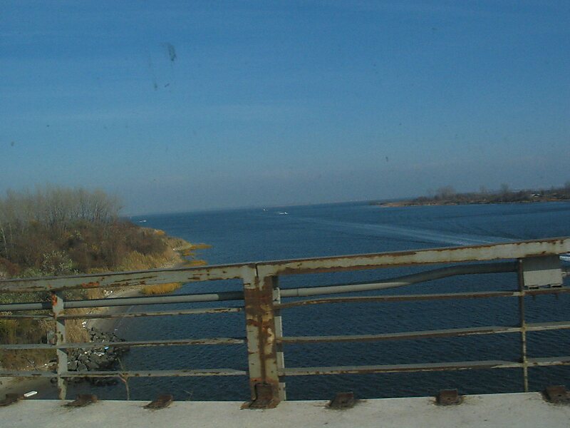
Jamaica Bay is an estuary on the southern portion of the western tip of Long Island, in the U.S. state of New York. The estuary is partially man-made, and partially natural. The bay connects with Lower New York Bay to the west, through Rockaway Inlet, and is the westernmost of the coastal lagoons on the south shore of Long Island. Politically, it is primarily divided between the boroughs of Brooklyn and Queens in New York City, with a small part touching Nassau County.
The bay contains numerous marshy islands. It was known as Grassy Bay as late as the 1940s. Jamaica Bay is located adjacent to the confluence of the New York Bight and New York Bay, and is at the turning point of the primarily east-west oriented coastline of southern New England and Long Island and the north-south oriented coastline of the mid-Atlantic coast.
Wikipedia https://en.wikipedia.org/wiki/Jamaica_Bay
Address United States
Coordinates 40°36'14.377" N -73°50'7.485" E