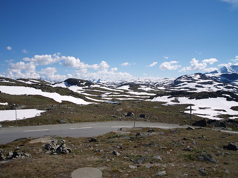
Jotunheimen National Park is a national park in Norway, recognized as one of the country's premier hiking and fishing regions. The national park covers 1,151 square kilometres and is part of the larger area Jotunheimen. More than 250 peaks rise above an elevation of 1,900 metres, including Northern Europe's two highest peaks: Galdhøpiggen at 2,469 metres, and Glittertind at 2,465 metres.
The national park covers most of the mountainous region of Jotunheimen, including Hurrungane, but Utladalen and its surroundings are within Utladalen Landscape Protection Area. Geographically, it lies in both Innlandet and Vestland counties. Geologically the Jotunheimen is a Precambrian province. Glaciers have carved the hard gabbro rock massifs of the Jotunheimen, leaving numerous valleys and the many peaks.
Wikipedia https://en.wikipedia.org/wiki/Jotunheimen_National_Park
Official site http://jotunheimen.com/
Address Sognefjellsvegen, 6877, Norway
Coordinates 61°31'34.371" N 7°50'47.292" E