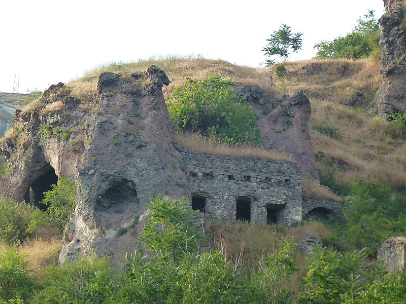
Khndzoresk is a village in the Goris Municipality of the Syunik Province in Armenia. The village is located to the east of the Goris-Stepanakert highway, on the steep slopes of Khor Dzor, which the village is named after, according to tradition.
Crossing the bridge at the entrance of the village, the road continues towards the towns of Lachin and Stepanakert. New Khndzoresk was built in the 1950s. The village is located at 1580m above sea level and occupies 6772,8ha.
Wikipedia https://en.wikipedia.org/wiki/Khndzoresk
Coordinates 39°30'44.392" N 46°26'1.104" E