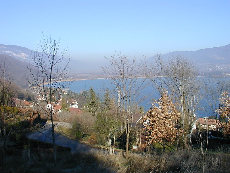
Lac du Bourget, also locally known as Lac Gris or Lac d'Aix, is a lake at the southernmost end of the Jura Mountains in the department of Savoie, France. It is the deepest lake located entirely within France, and either the largest or second largest after Lac de Grand-Lieu depending on season.The largest town on its shore is Aix-les-Bains. Chambéry, the capital of Savoie, lies about 10 km south of the lake. The lake is mainly fed by the river Leysse, and it drains towards the river Rhône through the Canal de Savières, an artificial channel. It is a Ramsar site. The extinct bezoule was found only in this lake.
The lake was formed during the last period of global glaciation in the Alps during the Pleistocene epoch. It has a surface area of 44.5 square kilometres. The long and narrow north-south axis of the lake extends 18 km in length, and ranges between 1.6 km and 3.5 km in width.
Wikipedia https://en.wikipedia.org/wiki/Lac_du_Bourget
Address 73370, France
Coordinates 45°43'42.871" N 5°51'48.087" E