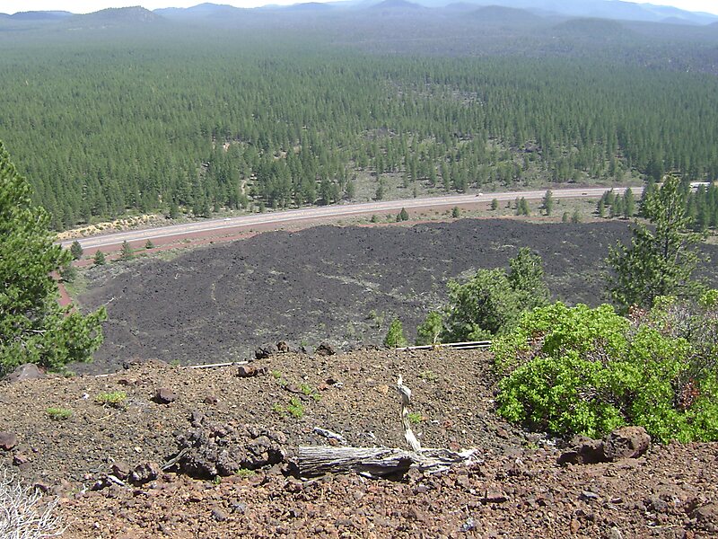
Lava Butte is a cinder cone in central Oregon, United States, just west of U.S. Route 97 between the towns of Bend, Oregon, and Sunriver, Oregon in Deschutes County. It is part of a system of small cinder cones on the northwest flank of Newberry Volcano, a massive shield volcano which rises to the southeast. The cinder cone is capped by a crater which extends about 60 feet deep beneath its south rim, and 160 feet deep from the 5,020-foot summit on its north side. Lava Butte is part of the Newberry National Volcanic Monument.
Download Download See moreWikipedia https://en.wikipedia.org/wiki/Lava_Butte
Address NFD Road 100, 97702, United States
Coordinates 43°55'3.395" N -121°21'21.352" E