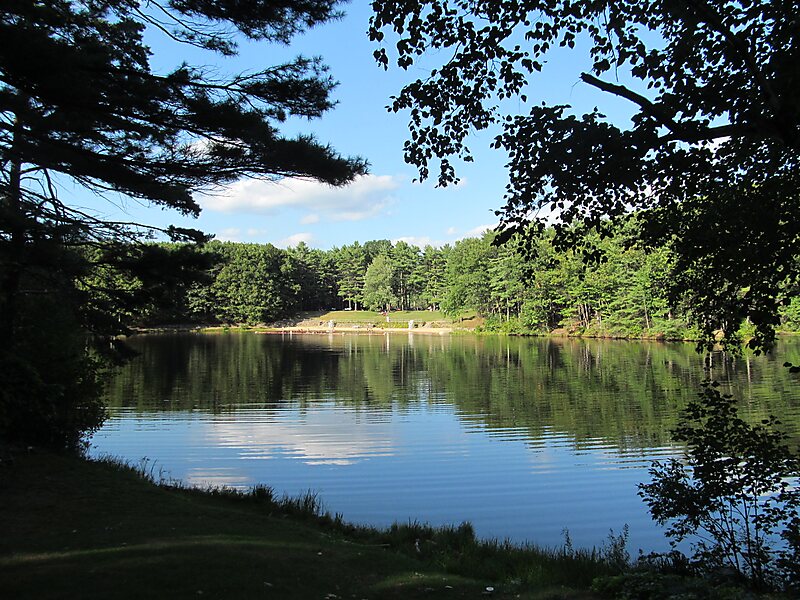
Leominster State Forest is a publicly owned forest with recreational features covering 4,246 acres in the Massachusetts towns of Leominster, Fitchburg, Princeton, Sterling, and Westminster. The state forest encompasses an extensive trail system, numerous small ponds, and the Crow Hills. Plants such as mountain laurel are common as is an abundance of wildlife. The forest is headquarters for Massachusetts Bureau of Forest Fire Control District 8 and is managed by the Department of Conservation and Recreation.
Download Download See moreWikipedia https://en.wikipedia.org/wiki/Leominster_State_Forest
Official Website https://www.mass.gov/locations/leominster-state-forest
Phone +1 978 874 2303
Coordinates 42°31'0.672" N -71°50'37.548" E