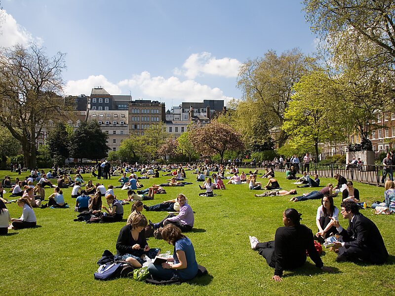
Lincoln's Inn Fields is the largest public square in London. It was laid out in the 1630s under the initiative of the speculative builder and contractor William Newton, "the first in a long series of entrepreneurs who took a hand in developing London", as Sir Nikolaus Pevsner observes. The original plan for "laying out and planting" these fields, drawn by the hand of Inigo Jones, was said still to be seen in Lord Pembroke's collection at Wilton House in the 19th century, but its location is now unknown. The grounds, which had remained private property, were acquired by London County Council in 1895 and opened to the public by its chairman, Sir John Hutton, the same year. The square is today managed by the London Borough of Camden and forms part of the southern boundary of that borough with the City of Westminster.
Lincoln's Inn Fields takes its name from the adjacent Lincoln's Inn, of which the private gardens are separated from the Fields by a perimeter wall and a large gatehouse.
Wikipedia https://en.wikipedia.org/wiki/Lincoln's_Inn_Fields
Address (Unnamed Road), Camden Town WC2A 3, United Kingdom
Coordinates 51°30'58.539" N -0°6'59.788" E