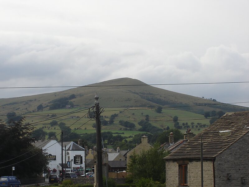
Lose Hill lies in the Derbyshire Peak District. It is the south-east corner of the parish of Edale and the end of the Great Ridge that runs from Rushup Edge to the west.
Local access activist G. H. B. Ward was given an area of Lose Hill by the Sheffield and District Federation of the Ramblers Association in 1945, which was named Ward's Piece; he subsequently presented this to the National Trust.
Suggested explanations for the name of Lose Hill include that it derives from the Old English hlose, meaning pigsties, or that it may be a corruption of ‘loose’, as in ‘free land’. Another author argues that Lose Hill should actually be called Laws Hill.In relatively recent times, the two hills' names have prompted a fanciful tale concerning the outcome of an imagined 7th-century battle between the forces of Edwin of Northumbria…
Wikipedia https://en.wikipedia.org/wiki/Lose_Hill
Address S33 6, United Kingdom
Coordinates 53°21'53.605" N -1°46'17.106" E