
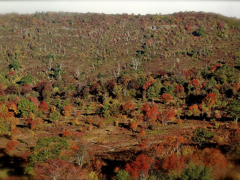
Graveyard Fields is the name of a flat mountain valley in the Blue Ridge Mountains of western North Carolina. The valley, itself over 5,000 feet in elevation, is surrounded by mountains exceeding 6,000 feet in elevation, such as Black Balsam Knob, Tennent Mountain, and Sam Knob. These high peaks form the source of the Yellowstone Prong of the Pigeon River, which flows through Graveyard Fields valley.
The valley's name may originate from a time when a great windstorm fell hundreds of spruce and fir trees on its slopes. These moss-covered stumps resembled graves. Another theory says that extensive logging during the early 1900s left stumps behind. Mosses and lichens grew on the stumps, resembling an overgrown graveyard.
Wikipedia https://en.wikipedia.org/wiki/Graveyard_Fields
Address 28716, United States
Coordinates 35°19'19.956" N -82°50'49.43" E
