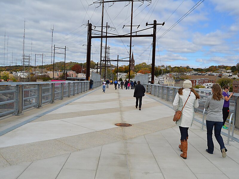
The Manayunk Bridge is an S-shaped former railroad bridge over the Schuylkill River, Schuylkill Canal and Schuylkill Expressway, that connects Bala Cynwyd, Montgomery County and the Manayunk neighborhood of Philadelphia, Pennsylvania. Closed to rail traffic in 1986, it is now an extension of the Cynwyd Heritage Trail and connects to the Schuylkill River Trail.
Download Download See moreWikipedia https://en.wikipedia.org/wiki/Manayunk_Bridge
Coordinates 40°1'31.541" N -75°13'35.671" E