Maricao is a town and the second-least populous municipality of Puerto Rico; it is located at the western edge of the Cordillera Central. It is a small town set around a small square in hilly terrain, north of San Germán, Sabana Grande and Yauco; south of Las Marías and Lares, southeast of Mayagüez, and west of Adjuntas. Maricao is spread over 6 barrios and Maricao Pueblo.
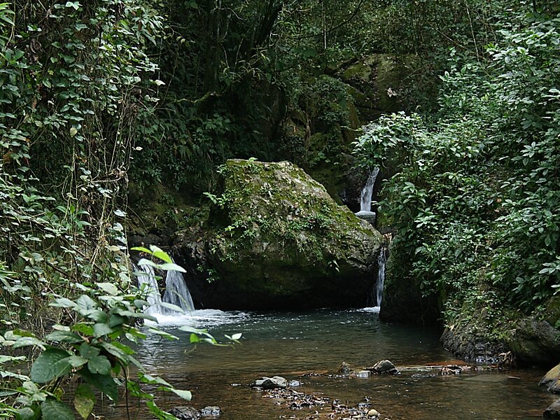
The town borders the Maricao Fish Hatchery, a fish hatchery made up of tanks and pools in a garden setting, where some 25,000 fish are raised yearly to stock farm fishponds and island lakes. The hatchery is part of the Maricao State Forest, also known as Monte del Estado. Though of dryer vegetation than the other mountain forest, Maricao is home to large number of bird species. Its stone observation tower provides far-flung views to the coast and the Mona Passage.
Wikipedia https://en.wikipedia.org/wiki/Maricao,_Puerto_Rico
Coordinates 18°10'50.444" N -66°58'47.295" E