This is the outline of the geography of the city of Ottawa, the capital of Canada. Ottawa's current borders were formed in 2001, when the former city of Ottawa amalgamated with the ten other municipalities within the former Regional Municipality of Ottawa-Carleton. Ottawa is now a single-tiered Census division, home to 870,250 people.
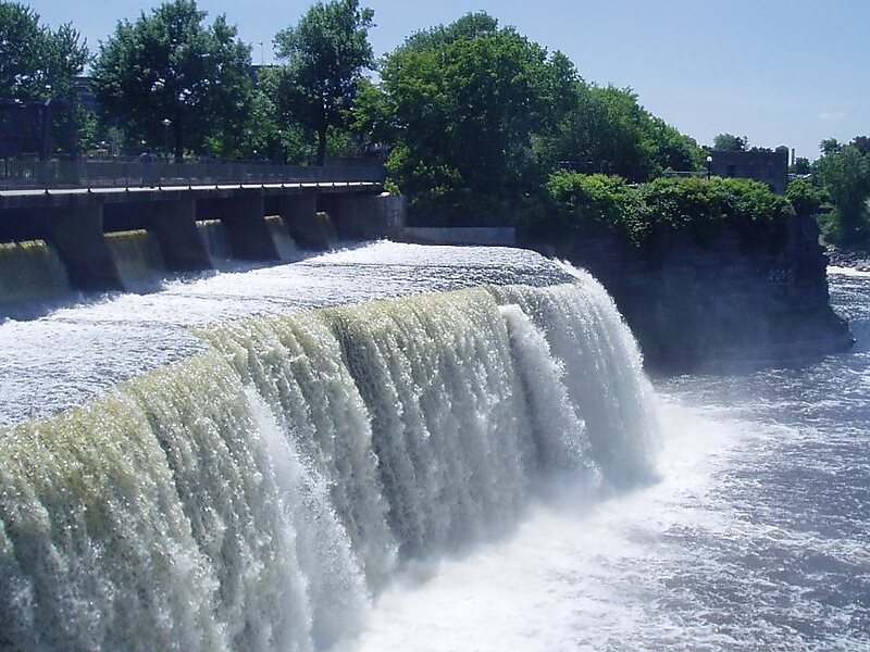
The city centre is located at the confluence of the Ottawa and Rideau Rivers. The Ottawa River forms the entire northern boundary of the city which it shares with the province of Quebec's municipalities of Pontiac and Gatineau. The northern boundary begins in the west at Arnprior and continues east to Rockland.
Wikipedia https://en.wikipedia.org/wiki/Geography_of_Ottawa
Coordinates 45°0'22.956" N -75°49'40.739" E