Mount Obama

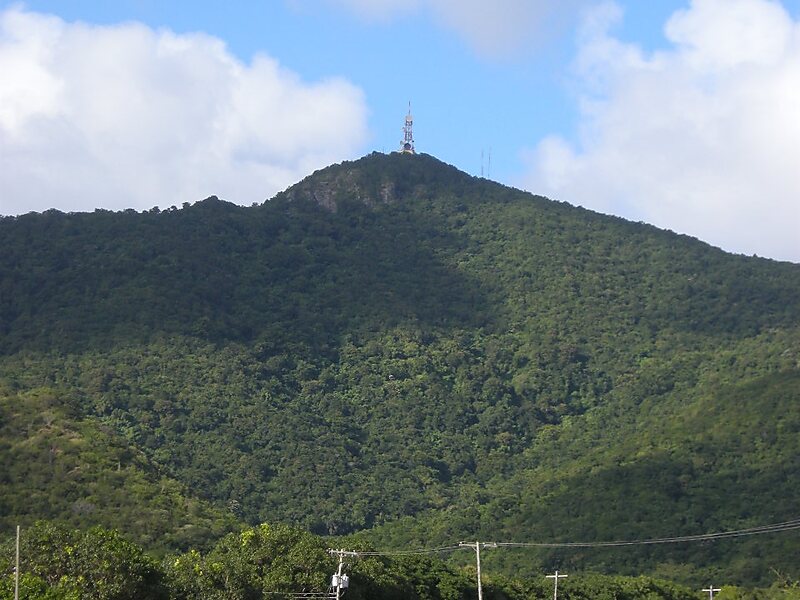
Local nameMount Obama
LocationAntigua and Barbuda (land mass)

Boggy Peak, named Mount Obama from 2009 to 2016, is the highest point of the Shekerley Mountains on the island of Antigua. It lies in the southwest region of the island, and rises to a height of 402 metres.

Download Download See more

More information and contact

Wikipedia https://en.wikipedia.org/wiki/Boggy_Peak

Address Antigua & Barbuda

Coordinates 17°2'30.998" N -61°51'4" E

Sygic Travel - A Travel Guide in Your Pocket

Download for free and plan your trips with ease
Or just search for "Sygic Travel" in App Store or Google Play.
Sygic Travel Maps The world's first map app tailored for travelers
Use the app Not now