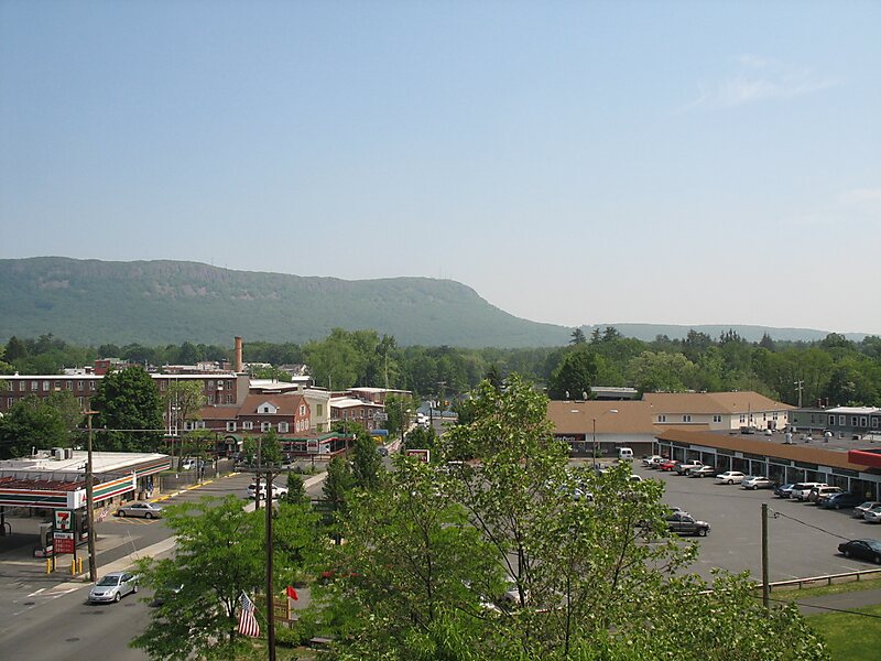
Mount Tom, 1,202 feet, is a steep, rugged traprock mountain peak on the west bank of the Connecticut River 4.5 miles northwest of downtown Holyoke, Massachusetts. The mountain is the southernmost and highest peak of the Mount Tom Range and the highest traprock peak of the 100-mile long Metacomet Ridge. A popular outdoor recreation resource, the mountain is known for its continuous line of cliffs and talus slopes visible from the south and west, its dramatic 1,100-foot rise over the surrounding Connecticut River Valley, and its rare plant communities and microclimate ecosystems.Located in Easthampton and Holyoke, Mount Tom is traversed by the 110-mile Metacomet-Monadnock Trail and is the transmitter location for three Springfield–Holyoke television stations: WGBY, WGGB, and WSHM-LD, and for radio stations WHYN-FM and WWEI. The name "Mount Tom" is sometimes used to describe the entire Mount Tom Range.
Download Download See moreWikipedia https://en.wikipedia.org/wiki/Mount_Tom_(Massachusetts)
Address 01040, United States
Coordinates 42°14'30.327" N -72°38'53.326" E