Rising 535 meters above sea level, this sacred mountain is surrounded by magnificent forest and offers gorgeous views from the observation platform located at the top.
To reach the summit, take the ropeway or hike up. The ride up takes about 20 minutes, but it is still a 30-minute walk to the observation platform from the ropeway's upper station.
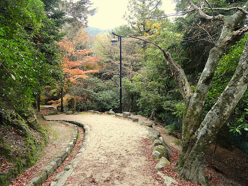
There are three hiking trails - the Momijidani trail, the Daisho-in trail and the Omoto trail. The Momijidani trail is the shortest but also the steepest one. The Daisho-in trail is not as steep and offers beautiful views as you go along. It should not take more than 2 hours to climb the mountain.
Wikipedia https://en.wikipedia.org/wiki/Mount_Misen
Phone +81 829 44 2011
Address Japan
Coordinates 34°16'46.531" N 132°19'10.599" E

